Namibia
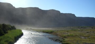
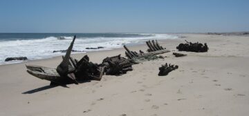
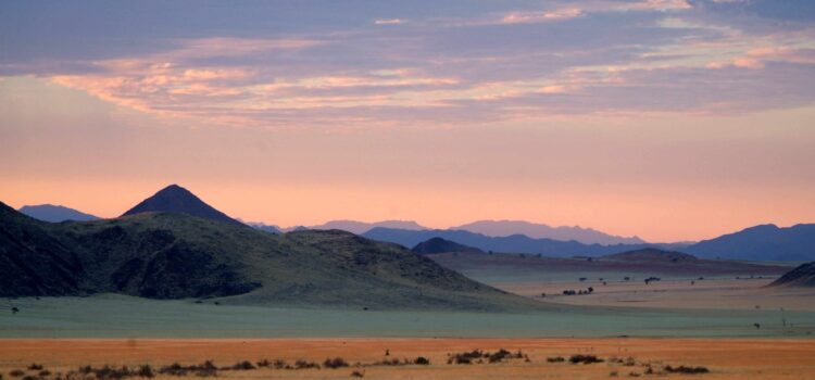
Namibia is a vast country in the South-Western part of Southern Africa. It is dominated by the desolate Atlantic coastline, the ancient Namib Desert, an extensive inland plateau, and stunning inland mountain ranges.
General Information
By its very definition, Namibian safaris are off the beaten track. With a surface area that is four times the size of the UK and just over two and a half million people, Namibia has the second lowest population density on Earth after Mongolia.
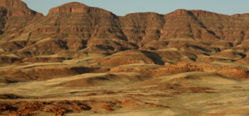
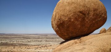
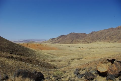
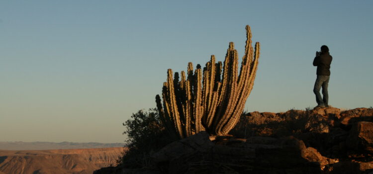
The Namibian landscape varies from vast expanses of desert and sand dunes to rock formations in the south, contrasting starkly to the savanna and woodlands of the central regions, and the lushly forested scenery of the northeast. This massive variety means a real treat for nature enthusiasts. The Brandberg Mountain in the southern Kunene Region is 2,579 metres tall and is Namibia’s highest mountain, while the Fish River Canyon in the far south is the second largest canyon on earth.
Namibia is also home to the 8th largest protected area in the world, and the largest underground lake in the world, as well as two UNESCO World Heritage sites. Vitally importantly, Namibia was the first country on Earth to enshrine nature conservation in its constitution.
Namibia is a melting pot of cultures and peoples, with 28 languages spoken, English being the national language. Namibia is a safe destination with a wide network of roads which are well maintained and demarcated – with a wide variety of lodges to suit every pocket. Hence, a holiday in Namibia is a fantastic opportunity for self-drive, but is also a destination catering to every taste.
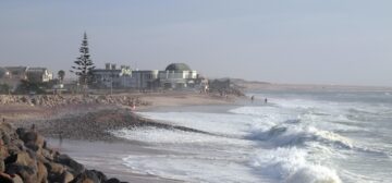
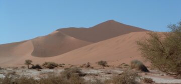
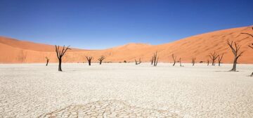
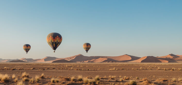
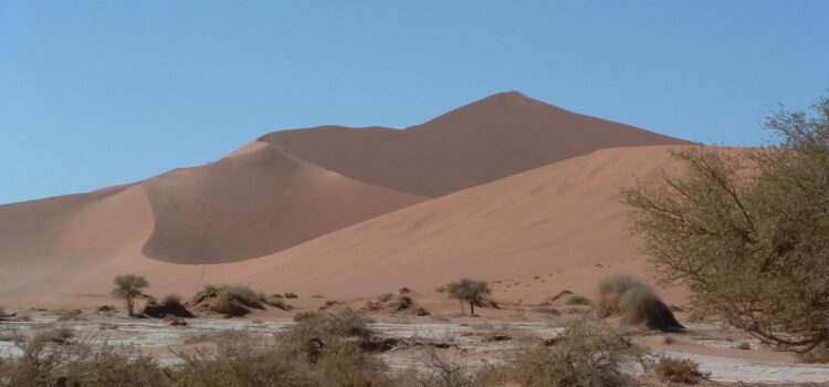
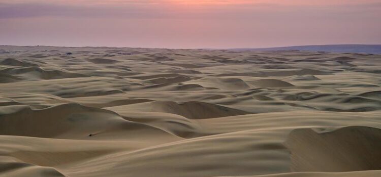
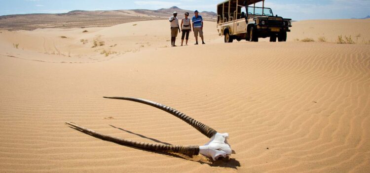
Namibia is bordered by South Africa in the south, Angola and Zambia in the north, and Botswana and Zimbabwe in the east. The western border of Namibia comprises 1,300km of seemingly desolate coastline, from the Orange River in the south to the Kunene River in the north. The Namib Desert, meaning “vast place” in the local Nama language, is where the country takes its name and is the oldest desert in the world, with some of the highest sand dunes. For some this is the main highlight of their Namibian tour.
The local currency is the Namibian Dollar, which is pegged 1:1 to the South African Rand. The South African Rand is legal tender in Namibia which makes changing money prior to arrival much easier for visitors.
Geography – Environment
Namibia stretches along Africa’s west coast and covers a total land area of 824,290 sq km. It is bordered by Angola and Zambia in the north, Botswana in the east, and South Africa in the south. Although the majority of the country is very arid, there is a great deal of variety to explore during a safari in Namibia, from the dune fields and coastal desert plains in the west to the 1660m high central escarpment, the densely wooded bushveld in the north and the lush, green Caprivi Strip.
The coastal region receives only 15 to 100mm of rain per year.
The long, narrow Namib desert, from which the country derives its’ name, stretches 2,000km from the Oliphants River in South Africa to San Nicolau in Angola. Hence, the entire coastal strip of Namibia falls within the realms of the Namib Desert.
The climate is arid with a usually brief rainy season between October and March. The desert days are extremely hot with summer temperatures reaching into the 40’s centigrade and sometimes higher. Nights are, conversely, very cold, and warm clothes are needed in the early morning during your Namibian holidays. A major factor in the shaping of Namibia’s environment, flora and fauna has been the cold Benguela current which flows south to north off the coast, up from the Antarctic.
The cold waters reach the coastline and meet warm, offshore winds to create a fog belt which condenses on land. This moisture sustains many varied and fascinating species of plant and animal, including the toktokkie beetle which has an interesting method of gathering the water from the condensing fog. The beetle stands with its’ behind raised in the air and waits for the fog droplets to condense on its carapace and flow into its mouth! Such unusual forms of plant and insect life form the basis of a surprisingly rich and varied desert food chain.
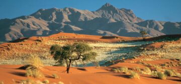
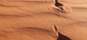
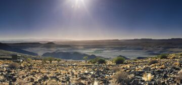
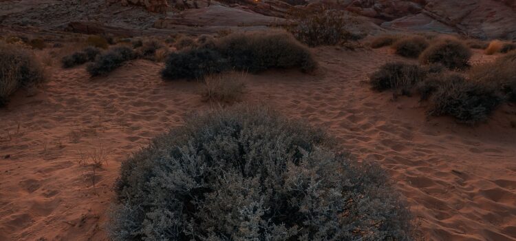
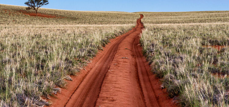
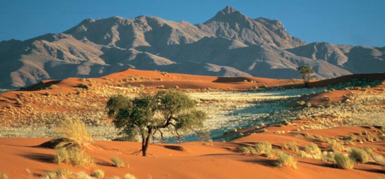
The mountainous red dunes of the coastal desert give way to gravel plains as the altitude rises inland. The width of the coastal plain varies; in Luderitz it is almost 300km wide whereas it is almost none-existent in the northern Kaokoveld area where the mountains reach almost to the sea. The Namib itself is criss-crossed by many dry riverbeds leading the way from the mountainous highlands to the coast, most of these rarely carry water, although some will flood briefly in years of high rainfall.
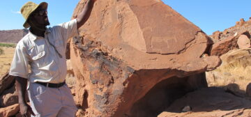
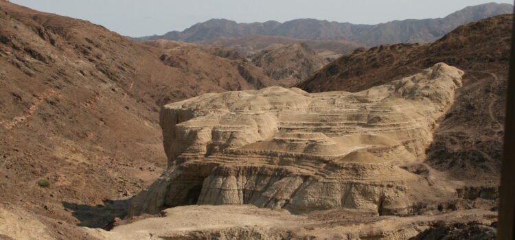
Millions of years ago, however, these riverbeds carried huge volumes of water and were responsible for carving out spectacular canyons such as the famous Fish River Canyon in the south of the country, great for hiking safaris as a part of your holiday in Namibia. The inland landscape boasts chains of dramatic mountains and inselbergs. Some of these are volcanic with caves and rock shelters where remains of ancient human habitation have been found.
The desert vegetation consists of many drought-resistant species such as the nama melon, various lichens, and some stunted acacias. Desert species give way to savanna grassland near the central escarpment which is dominated by Stipagrostis, Eragrostis, and Aristida species. Areas of aloe plants, euphorbias, and quiver trees are found in the south, and buffalo and camel thorn acacias grow along watercourses. The Caprivi Strip in the Zambezi Region is characterised by Mopane woodlands, acacia belts, and grasslands as well as reed-beds near the rivers.
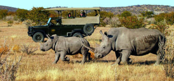
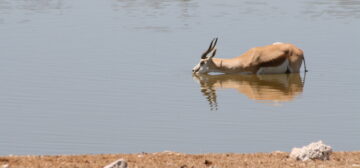
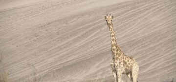
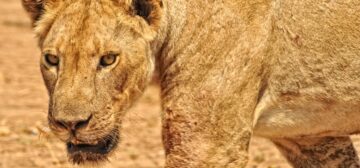
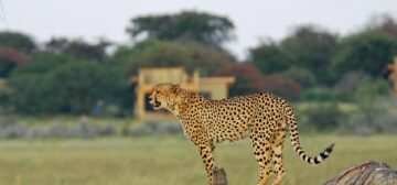
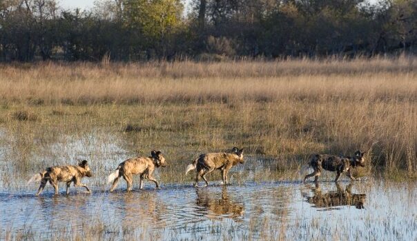
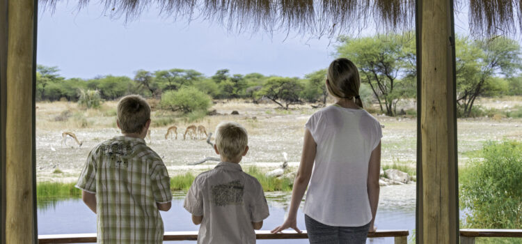
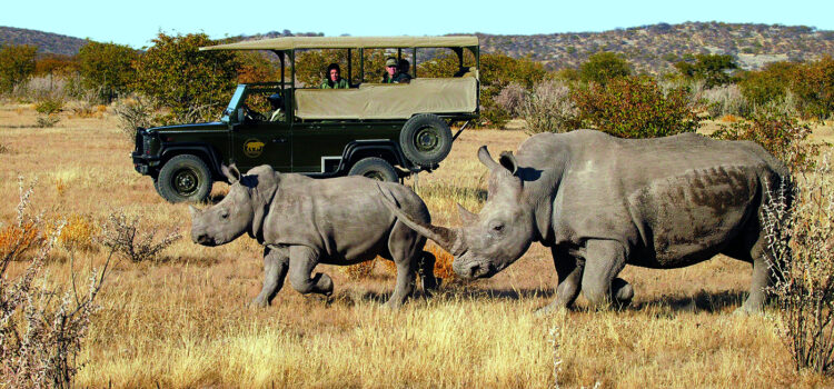
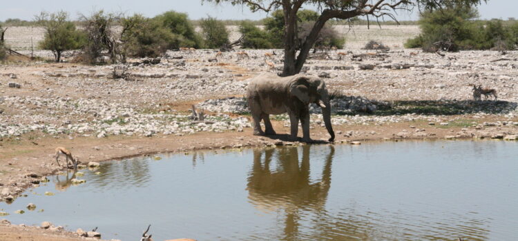
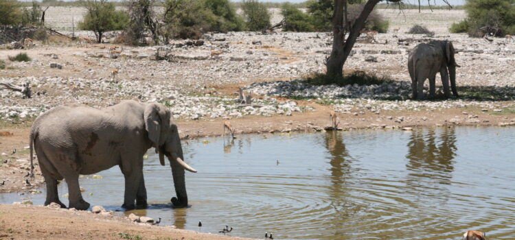
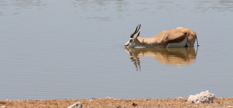
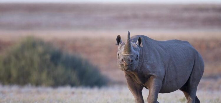
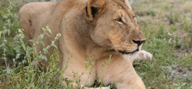
The wide variety of vegetation across the country supports an equally staggering array of insect, bird, and animal life creating fantastic photographic opportunities during your Namibian safari. Four of the “big five” rhino, elephant, leopard, and lion can be found across the country, whereas the fifth (buffalo) are only found on the Waterberg Plateau, and north of the ‘veterinary red line’ which separates private commercial farmland from communal areas. In addition, approximately 20% of the world’s cheetah population is found in Namibia.
The bird life is equally prolific with many water birds supported by the rich fish stocks, and several hundred land-based species present throughout the country. Namibia is home to the worlds’ largest bird, the ostrich, as well as the worlds’ heaviest flying bird, the Kori Bustard.
History, Culture and Politics
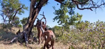
The earliest inhabitants of Namibia were the San, also known as bushmen, a small number of whose descendants still survive in remote areas of the country living a traditional, nomadic lifestyle. Initially the San lived in widespread groups of low population density, moving around frequently. They were always incredibly well adapted to their harsh environment, and the many skills which have been passed down through the generations are still relied upon today in a few of their remote settlements.
Over time the San came under pressure from Khoi-Khoi (Hottentot) groups, ancestors of the present-day Nama tribes, who are thought to have moved into Namibia from the south. The Khoi-Khoi relied on raising cattle rather than hunting for survival, and they were probably responsible for making the oldest pottery fragments found in the archaeological record. Many of the San were absorbed into the Khoi-Khoi way of life, and latter references are made to the ‘KhoiSan’ people, an amalgamation of the two original tribes.
Bantu tribes arrived in Namibia around 2,300 years ago, bringing with them the first tribal structures in Southern African societies. The majority of the KhoiSan retreated further into the desert or to Botswana, those who remained in the more accessible areas of the country risked enslavement by the Bantu tribes. Around 1600AD Bantu speaking cattle raisers from the Zambezi occupied the North and West of Namibia, these people were known as the Herero tribe. There followed conflicts with the KhoiSan for the best grazing land and water holes. Most of the KhoiSan and the Damara people (whose origins are unknown) were displaced and only a few remained to hold out against the Herero.
By the 1870’s a new Bantu group, the Wambo, probably descended from East African migrants, had settled in the North of Namibia along the Kunene and Okavango Rivers. The Wambo now constitute the largest tribal group in Namibia.
The first European visitors to Namibia were the Portuguese. Initially the coast of Namibia was largely ignored. Further exploratory voyages occurred during the 1600’s, but these were based out of Dutch colonies in the Cape. The first white explorer to travel overland from the Cape across the Orange River to the area which is now Namibia was a Dutch elephant hunter in 1750.
He was swiftly followed by a progression of traders, hunters, and missionaries. The Cape colony government then decided to put the ports of Angra Pequena (the present day Luderitz) and Walvis Bay under their ‘protection’ as they perceived a threat from British, American, and French colonisers, and obviously saw the value of these ports. The ubiquitous missions began to spring up around 1805 with stations established in Windhoek, Rehoboth, and Keetmanshoop towards the middle of the century.
It was around this time that Britain began to take an interest in the more lucrative areas of Namibia and in 1867 the country annexed the guano islands off the coast of Angra Pequena to exploit the guano for fertiliser.
Walvis Bay and the surrounding area was also annexed by Britain in 1878 as the only deep-water port in the country. Britain subsequently took a prominent role in maintaining law and order in the KhoiSan/ Herero wars. Although at this point Namibia had a number of colonial influences, it was Germany that finally emerged as the dominant power. In 1883 a German merchant named Adolf Luderitz bought the port of Angra Pequena from a Nama chief, and the town was subsequently named after him. Namibia was put under German protection in 1884 following conflict between Germany and Britain, and the colonial boundaries were finally agreed in 1890 between the British in neighbouring Becuanaland (Botswana), the Portugese in Angola, and the Germans.
The German take over was facilitated by a colonial company, a similar procedure to that of the British in India. Unfortunately this company was unable to maintain law and order among the many different tribes and colonial influences, and the first German troops arrived in Namibia in the 1890’s. They built elaborate forts which can still be seen across the country.
Between the 1890’s and the First World War, the German Reich took over all the Khoi and Herero land and demolished most of their tribal structures. During this time the majority of the arable land was taken over and distributed among German settlers.
During World War One South Africa was pressurised by Britain to take Namibia over from Germany, and an invasion was eventually affected in 1914. German troops were pressed northwards until their defeat at Khorab in 1915. In 1921 a League of Nations mandate was signed which gave power to South Africa and many of the German farms were sold to Afrikaans settlers. During this time the Bantu tribes were subjected to territorial demarcation similar to the South African ‘homelands’ policy. This remained in place until independence in 1990.
South Africa maintained control over Namibia despite growing international pressure from 1950 onwards. The rich mineral deposits and the country’s strategic importance was enough incentive for the colonists to hold onto power for as long as possible. Towards the 1970’s however, many other African countries had gained independence and the struggle for Namibia was gaining momentum. During this time the first conference involving all of Namibia’s eleven ethnic groups gathered.
Attempts at self-government began in the 1980’s with a Multiparty Conference, and the Transitional Government of National Unity was established in 1985. The South African government remained responsible for foreign affairs and defence. A huge South African military presence involved itself in a messy bush war against the SWAPO freedom fighters who based themselves just across the border in Angola with the backing of Cuban forces.
An end to this war was reached on April 1st 1989 with Cuban forces agreeing to pull out of Angola in return for the granting of independence to Namibia from the South African government. Full independence was achieved on 21st March 1990 under UN supervision, and the government has remained SWAPO dominated ever since.
Today, Namibia’s population numbers around 2.5 million with approximately 54% living in urban areas. The growth rate is around 1.8% and 37% of the population are under 14 years old. Life expectancy is now 61 years for men and 67 years for women. Around 70% of Namibia’s population are directly or indirectly reliant on agriculture for their living, much of this at a subsistence level. With the country being dominated by desert, the country’s carrying capacity is close to being reached, even taking into account the tiny population!
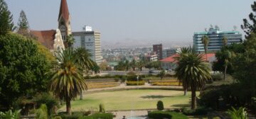
Windhoek is the capital city and is situated conveniently almost in the geographical centre of the country. Windhoek is home to the Supreme Court, parliament buildings, international airport, museums, and art galleries.
The Namibian head of state is the president. The government is headed by the prime minister, who, together with his cabinet, is appointed by the president. SWAPO, the primary force behind independence is still currently the country’s largest party.
Thus far the government has remained stable and elections based on universal franchise are held every five years. The Namibian legal system is based on the Roman-Dutch rule of law, and the constitution was drawn up for independence with UN recommendations in 1990.
Despite the lack of water and local fuel sources, Namibia is still a very prosperous African country. The main reasons for this success have been a constant effort to attract foreign investment and a reasonably sensible approach to the exploitation of natural resources.
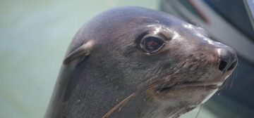
The mainstays of the economy are mining; mainly diamonds and uranium but Namibia also produces large quantities of lead, zinc, tin, silver, and tungsten. Agriculture (cattle and karakul sheep), and fishing are also major contributors. The Benguela current is responsible for the rich fishing waters off the coast of Namibia. The cold waters swelling up from the Antarctic are rich in plankton and sustain plentiful shoals of anchovy, pilchard, and mackerel as well as the larger tuna, and swordfish as well as rock lobster and oysters.
Tourism is the fastest growing sector in the economy in terms of contribution to GDP and is now the second largest contributor after mining. We believe that tourism, conducted sustainably and in line with the country’s community development goals, has the capacity to raise living standards and protect the nation’s natural heritage into the future.
Health & Malaria
The north of Namibia (Etosha National Park and the Zambezi Region) is classed as a medium risk malaria area. The remainder of the country poses practically no risk. Your doctor can advise you on the best type of prophylaxis for the area of travel and your personal requirements. However, taking prophylaxis will not guarantee that you will not contract malaria! The best way to avoid malaria is to avoid being bitten by the mosquitoes that carry the parasite. Only the females of one species of mosquito (Anopheles) carry the tiny parasite, and the greatest incidence of malaria is in areas of high population where there are many people for the mosquito to bite and pass the parasite between.
Mosquitoes usually bite between sunset and sunrise, so make sure that you are covered up during this time! Wear loose-fitting, long-sleeved shirts and trousers, use a good insect repellent and sleep underneath a mosquito net or in a tent/ room sealed with netting. If you do develop flu-like symptoms, or feel at all unwell, during your holiday or after your return home, you must make sure that your doctor knows that you have recently travelled in a malaria area. Malaria is not a serious problem provided people take adequate precautions and seek advice and treatment immediately if they feel unwell.
Namibia’s major private hospitals are of a good standard with clean and safe facilities. However, some serious medical cases will be evacuated by air to South Africa where further facilities are available. You must make sure that comprehensive travel insurance is taken out before you travel, this insurance should cover any medical expenses, air evacuation and repatriation if necessary. It must also cover delay, curtailment, or cancellation of your holiday or any associated flights.
Water
The water is safe to drink throughout the majority of Namibia. When visiting the remote areas purification tablets should be used, or bottled mineral water bought en route. Plenty of water must be drunk to prevent dehydration. We recommend 2-3 litres minimum, excluding beverages such as tea, coffee, juice, and alcohol. Dehydration is responsible for many emergency evacuations and can cause very serious problems, it is totally avoidable, so don’t let this spoil your holiday!
Climate
- Rainy season: Late October to late March. Rainfall does not usually occur every day, and generally takes place in the afternoon with mornings being fairly clear.
- Summer: November to March with a usual high of 40° C and a low of 17° C.
- Winter: June to September with a usual high of 18° C and a low of 5° C.
Season Summer rainy season (November to March)
Pros: Quieter tourism period, lush green landscape, fantastic migrating birds, beautiful sunsets, and stunning views of electrical storms.
Cons: Wildlife is more spread out, very warm temperatures, activities or transport may sometimes be interrupted by rain.
Season Winter dry season (June to September)
Pros: Higher chances of excellent game viewing, cooler, few mosquitoes in the north.
Cons: Busiest tourism period, cold mornings and evenings, drier environment.
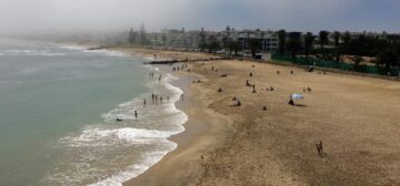
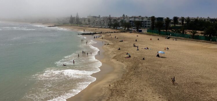
Our personal preference would be for either March-May or early November as these times are neither too hot nor too cool, and the accommodation establishments are generally quieter. At both times of year the wildlife is usually very exciting and the heat is not extreme. The coastal weather is unpredictable, and this area is blanketed with fog for up to 9 months of the year! However, during summer this can provide a welcome respite from the desert heat.
Photography
Bring plenty of memory cards and a spare camera battery as these items may not be available in some of the more remote areas of Namibia. A good zoom lens (minimum 200 mm) is essential for wildlife photography.
Clothing
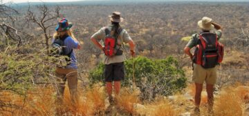
Neutral, muted colours such as khaki, dark green, or beige ensure as little disturbance to wildlife as possible whilst on game drives or walks. White or bright colours are not advised, and army camouflage uniforms or army hats are not recommended.
Recommended Packing
Neutral coloured casual clothing (shorts/shirts) for everyday wear, stout shoes (with soles thick enough to protect against thorns when walking), a light waterproof jacket for summer, warm jumper/ fleece for winter, warm long trousers for winter, two sets of good casual clothes for evening dining where appropriate (nothing too smart), towel for campers, broad brimmed hat, sunglasses, sunscreen, camera, plenty of memory cards & spare battery, binoculars, reliable torch, sleeping bag if camping. It is also worth noting that if you are travelling by light aircraft or as part of a guided safari, you should carry no more than 15kg of luggage in a soft bag for ease of packing.
Currency
The Namibian currency is linked 1:1 with the South African Rand. Each dollar is divided into 100 cents. The South Africa Rand is interchangeable with the Namibia dollar in Namibia and all Rand notes and coins are accepted. However, the Namibia dollar is not accepted in South Africa! Namibian dollars are difficult to get hold of outside the country and it is easier to purchase cash in South African Rand before travelling. US$ can be easily exchanged in Windhoek and Swakopmund, as can Euro and Pounds. Most accommodation establishments accept credit cards, mainly Visa or Mastercard. Fuel can also be purchased with credit cards at most stations. In the more remote areas, credit card payment systems may struggle to connect to the internet so you should have some cash handy just in case.
Visa Requirements
Visitors from the UK, European Union and the USA can obtain tourist visas for up to 3 months at the border. Please contact us for details regarding your personal visa requirements.
